Products shown on this site are for reference only and should not be used for decision making. Always follow local authorities for latest wildfire information.
Active Fires
Active fire locations and perimeters are generated from the National Interagency Fire Center (NIFC) "Current Wildland Fire Perimeters" layer. This database is typically updated once per day as fires are mapped by incident management teams at the scene. In some situations newer (<1 week old) fires may not appear until several days after fire ignition.
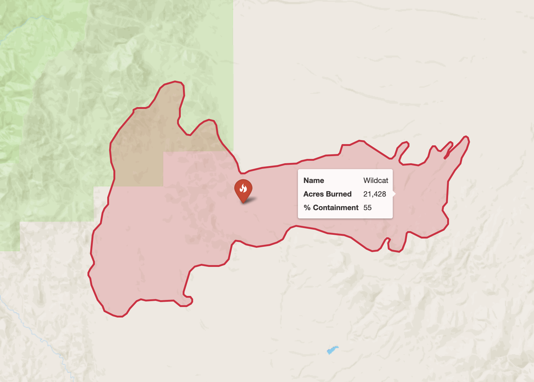
It is important to note that these perimeters are anywhere from minutes to days old by the time they are compiled and posted online, thus they are always out of date. However they represent the most recent mapped fire location. Additionally, "active" fires may remain on the NIFC server well after they have been contained, and may linger on the map display even though the fire is no longer actively burning.